


Blog
Geofencing and its applications in the Insurance sector
Geofencing: definition and its
applications in the insurance sector
Seizing the opportunities in the insurance sector require right data from the right sources. Safety and security are gaining more significance than the benefits themselves. Personalized premiums are getting weightage, and to provide right plan to the right policyholder, providers need reliable and location-based data that can guide them to channel their efforts in the right direction.
One of the most suitable solutions for this need is “Geofencing”, a technology that helps in the collection of accurate, location-based data to provide utmost safety and reliability to the policyholder, and enhance the services provided by the insurer, creating a win-win situation for both.
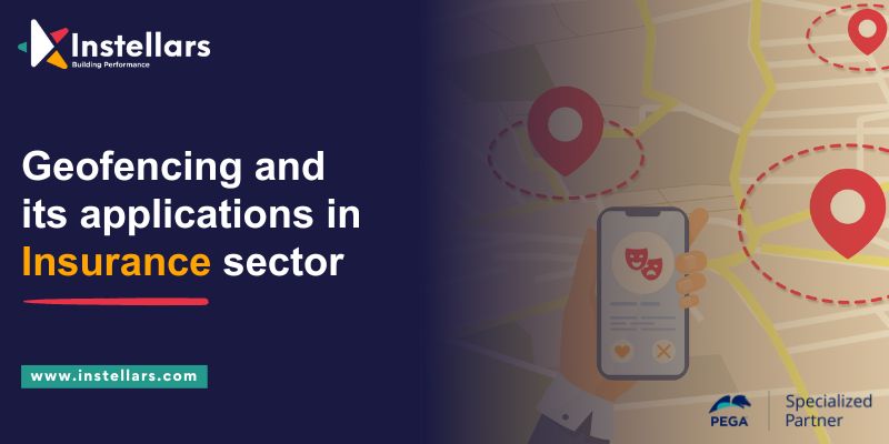
What is Geofencing?
Geofencing is location-based technology using GPS, cellular
data, or RFID. A technique that creates a virtual boundary around a real
geographic area. The border can be adjusted to a specific size and shape like a
circle or polygon and can be configured to trigger automated actions or alerts.
Something moves in and out of the boundary.
Geofencing is used in a wide variety of applications such as
Marketing, Security, logistics, etc. For example, retailers can use geofencing
to send targeted promotions to those entering certain stores while security
companies can use it to monitor and control access to secure facilities.
Geofencing can be used by logistics companies to track vehicle locations and
ensure that they stay within the designated area.
Geofencing in the Insurance
sector
Geofencing is a powerful technology that is gaining popularity
in the insurance sector. Insurance companies can collect and analyze data on
policyholder driving habits and risks. This will enable them to offer more
personalized and competitive insurance products.
Applications of Geofencing in
the Insurance sector
Personalized premiums
Geofencing can be used to monitor the driving behavior of
policyholders in particular areas such as highly trafficked or high-risk zones.
Using this data, insurers can offer personalized premiums that reflect the
actual risk profile of the policyholders in these areas.
Proactive risk management
Geofencing can be used to identify high-risk accident-prone intersections and high-crime areas. Insurance companies can use this information to notify policyholders with advance guidance on how to mitigate risk in these areas.
Location-based Services
Geofencing can be used to provide location-based delivery
Policyholder services such as reminders for updating policies when they are
near an insurance agency office or in an area with bad weather.
Anti-theft
Geofencing can be used for theft detection and prevention of
Insured assets such as cars and appliances. policyholder assets Parking lots or
construction sites, alarms can be triggered to notify policyholders and
insurance companies when policyholders’ assets leave a designated area.
Usage-based insurance (UBI) is one of the main applications of
geofencing in the insurance industry. An insurance policy known as UBI bases
its premiums on the actual driving habits of the policyholder, including their
speed, distance travelled, and braking techniques. This information can be
gathered using geofencing technology, and the policyholder's risk level and
premiums can be determined using the results.
Incentives and targeted promotions can be given to policyholders
based on their location using geofencing. For instance, an insurer might give
policyholders a discount if they drive in low-risk areas or stay away from
certain dangerous roads or intersections.
Geofencing has other applications besides UBI and targeted
advertising for claims management. Geofencing technology can be used to
identify a policyholder's location after an accident and collect information
about the accident's specifics, such as the time of day and the weather. This
information can be used to speed up the claims procedure and increase the
precision of claim evaluations.
Geofencing can also be used to promote safer driving practices,
which will increase traffic safety. Using geofencing, insurers can track
policyholders' driving patterns and provide feedback and coaching on how to
develop better driving practices. Accidents and claims may be decreased as a
result, to the mutual benefit of the insurer and the policyholder.
In conclusion, geofencing technology has the potential to
completely transform the insurance industry by enabling insurers to provide
more individualized and affordable insurance products, enhance claims
processing, and promote safer driving habits. Insurance companies must,
however, weigh the advantages of geofencing technology against privacy concerns
to ensure that policyholder data is responsibly collected and used.
Adding the flavor of AI to Geofencing
Here is where Pega CDH's potent features come into play. By
gridding through the data gathered via geofencing, Pega CDH's powerful AI
engine improves decision-making.
To increase its capabilities and advantages in the insurance
industry, AI can be integrated with geofencing technology. Insurers can analyze
vast amounts of data on policyholders' driving behaviors and risk profiles
using AI-powered algorithms and predictive analytics to gain deeper insights
and more precise predictions.
To evaluate risk and determine premiums, AI can be used to
automatically spot patterns and trends in a driver's behavior, such as frequent
hard braking or speeding. Insurers may be able to create more precise risk
models and provide more specialized insurance products as a result.
AI can evaluate accident data and evaluate claims to automate
claims management procedures. As a result, processing claims will take less
time and money, and claim assessments will be more accurate.
Furthermore, by examining data on accidents, traffic patterns,
and weather, AI can be used to create predictive models for improved road
safety. This can assist insurance companies in identifying high-risk areas and
help them proactively advise policyholders on safer driving practices and
alternative routes.
It is important to note that the combination of geofencing
technology and AI raises ethical and legal questions. The use of AI and
geofencing by insurers must adhere to ethical standards and data privacy laws.
For policyholders to understand how decisions are being made and have
confidence in the technology, they should also make sure that AI-powered
algorithms are transparent and understandable.
In conclusion, the combination of AI and geofencing technology
has the potential to have a significant positive impact on the insurance
industry by allowing insurers to develop predictive models for traffic safety,
gain a deeper understanding of policyholders' driving patterns and risk
profiles, and automate claims processing. However, insurers must use AI and
geofencing technology responsibly while keeping moral and legal considerations
in mind.
Enhancing the applications of Geofencing in the insurance sector with AI
Fraud detection

By tracking policyholders' locations when they report an incident, geofencing technology can be used to find fraudulent claims. For instance, it may be a sign of fraud if a policyholder report being in a car accident in a specific location but smartphone data reveals they were somewhere else at the time. The data can be analyzed using AI to spot fraud patterns.
Telematics

The use of technology to track and transmit data on vehicle
usages, such as speed, acceleration, and braking, is known as telematics. To
automatically adjust policyholders' premiums based on their behavior in
particular areas, such as school zones or construction sites, geofencing
technology can be used to create virtual perimeters around those places. AI can
be used to analyze the data and spot behavioral trends that point to higher
risk.
Emergency response
When a policyholder is involved in an accident, geofencing
technology can be used to automatically alert emergency services and provide
their location and other pertinent information. AI can be used to analyze the
data and give emergency responders on-the-spot instructions.
Risk evaluation

Using geofencing technology, policyholders' driving patterns can
be tracked over time to determine their overall risk profile. AI can be used to
analyze the data and offer suggestions for how policyholders can lower their
risk, like avoiding specific roads or driving during specific hours of the day.
Conclusion
Geofencing is undoubtedly intrusive, but it greatly strengthens
the safety net around daily activities. By using geofencing, a business can
make data-driven decisions while balancing privacy concerns and value delivery.
Pega's AI-powered CDH implementation coupled with data-capturing tools enables
quick and accurate decision-making.
Blog written by:
Mayank Tripathi
AVP Engineering and Solutions
Stay Agile
The transformation that matters
The transformation that matters
Want to join our team?
Send your resume to Careers @ Instellars
Send your resume to Careers @ Instellars